
Update: The North Coast Coastal areas were added to the Arctic Outflow Warning at 4PM Friday
The temperatures are about to take a plummet for areas of the North Coast Inland with Environment Canada issuing an Arctic Outflow Warning today for Kitimat, Terrace and Stewart.
The advisory notes that the winds will develop overnight and bring wind chill values of below -20 by Saturday afternoon.
Strong outflow winds will develop overnight and temperatures will start to fall. Wind chill values are forecast to drop below minus 20 by Saturday afternoon and are likely to persist through the weekend.
Be prepared for unusually cold temperatures and strong winds.

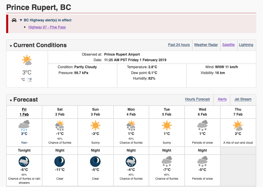
The forecast for Prince Rupert isn't quite as drastic as the Cold Arctic Air for the most part stays to the east of the Tyee Summit.
Though the North Coast coastal regions are in store for cooler weather and a few nights of below zero temperature ahead,
Note:
Prince Rupert and the North Coast Coastal region was added to the Arctic Outflow Warning at just after 4 PM on Friday.

You can access the latest forecast here.
For more items of note related to Northwest weather see our archive page here.
To return to the most recent blog posting of the day, click here.
No comments:
Post a Comment