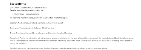
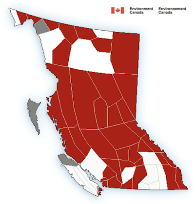
There's a bit of good and some bad to go with it when it comes to what Mother Nature will throw at the North Coast next, with Environment Canada issuing a Special Weather Statement today advising of a change in conditions for Thursday evening and into Friday.
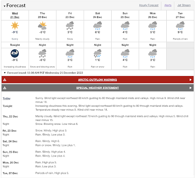
The good news, the Arctic Front is about to be beaten back to the north, the bad news, the Pacific Frontal system providing that push north is bringing Snow and then rain for the weekend.
As it arrives, the forecast is for 5-10 cm of Snow for Thursday evening with the potential for freezing rain as it transitions to general rainfall by Friday afternoon or evening.
 |
| click to enlarge |
For now the Arctic Outflow Warning is still in effect, the transition point to come sometime Thursday afternoon.
Follow Environment Canada for updates as the system approaches.
As well, keep an eye on the Drive BC website for travel alerts for those travelling Northwest roads this week and over Christmas
More on past weather themes is available from our archive page.


No comments:
Post a Comment