 |
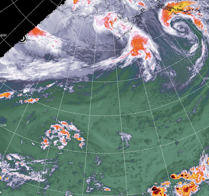
| Satellite imagery from Environment Canada from earlier this week highlighted the remnants of a cyclone off of Haida Gwaii |
The Pacific Ocean has been churning and churning and churning for much of this week, as just off the western coast of Haida Gwaii the remnants of a cyclone created some massive winds and waves and had weather experts keeping a watchful eye on what direction it was going.
As things evolved, while making a bit of a mess of the BC Ferries schedule, the marine system never seemed to shift its gaze towards landfall on Haida Gwaii or the North Coast.
The end of that system accounts for our gusty winds and rain for today, that comes from that system as it dies out towards points north.
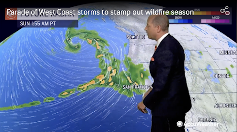 |
| A forecaster from Accu Weather with the heads up for Southern BC and the US west coast |
This weekend all eyes are on points south, with extreme weather a possibility for areas from Vancouver Island south to Oregon and even Northern California.
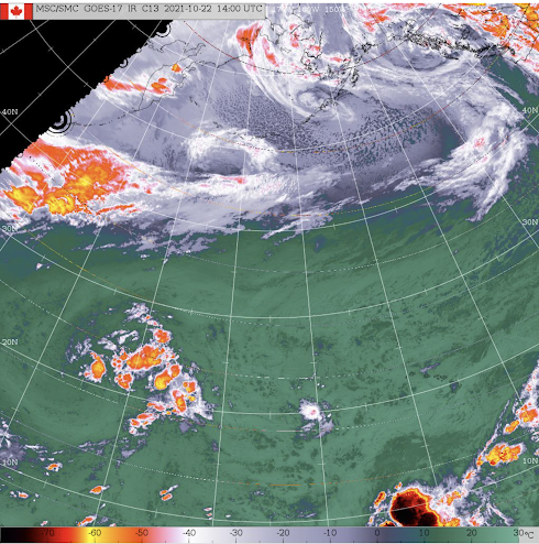
The Environment Canada website provides for up to date satellite imagery which you can review here, North Coast residents will want to select the North Pacific options.
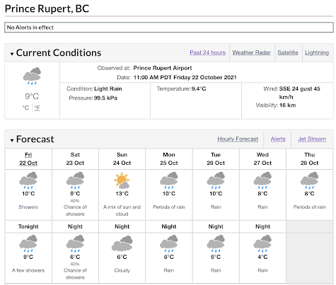
We will see a lull in the extreme weather for a few days with showers and maybe even some sunshine ahead through to Sunday.
The next period of note for the North Coast and Haida Gwaii comes Monday as that system far off in the distance makes its final course correction and with it some very wet days to come.
You can keep up to date on the path of that storm and what it may mean through the Environment Canada website.
For the moment, something of a rarity can be found on the Environment Canada Public Alerts page, with not one weather alert to be found for any community in Canada. Enjoy the calm while it lasts!
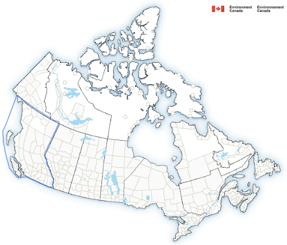 |
| A noon hour snaps of Environment Canada's Public Alerts page |
For more items of note on weather related themes see our archive page here.
No comments:
Post a Comment